Surveying Service
We give you everything you need, so that you do not have problems when proceeding to develop your projects.
What do we do in this service?
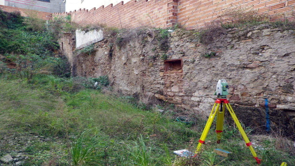
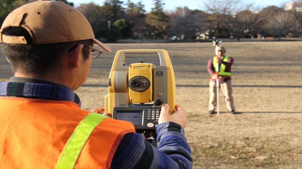
Topographic surveys
Necessary for construction work, in which the land will be examined, determining the levels and leaving marks to carry out the project.


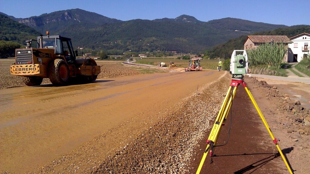
Topographical layout


Operation by which the information contained in the sets of plans is marked on the terrain. An example may be marking the earthworks on the terrain, marking the location of registration boxes, among others.
Terrace Control
Carry out the administration of the extracted material, its reuse, see that the road or terrain does not present any problem or completely complies with what is stipulated in the designs.


Leveling monitoring


That all the structural components of a construction are at the levels at which they were designed are essential to avoid failures in the structure and keep the users of the complex safe.
Our experience
Survey and Design, conduction line, 3.3km, San Andrés Minas, La Unión Copan, Geo-platanares company, December, 2020.
Verification of beam levels, Public Ministry Building, Santa Rosa de Copan, August, 2019.
Raising levels and rethinking, Residential Villa Real, Nueva Ocotepeque, June 2019.
Survey and redesign of “Barrio Mercedes” streets, Municipality of Santa Rosa de Copan, September, 2018.
Raising of levels and rethinking, Residential Palmira, Santa Rosa de Copan, July, 2016.

